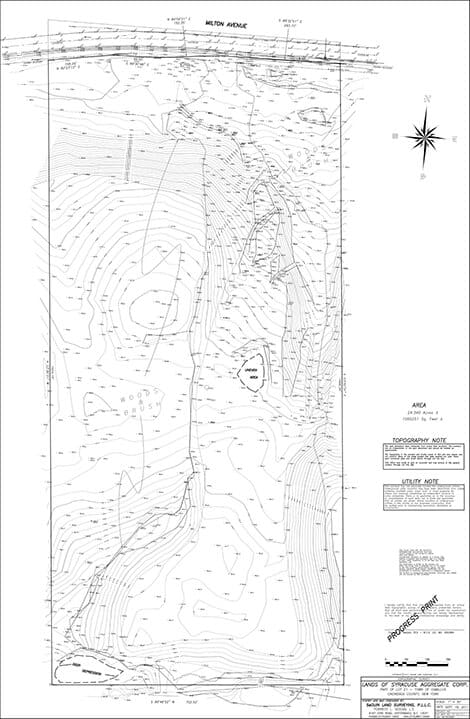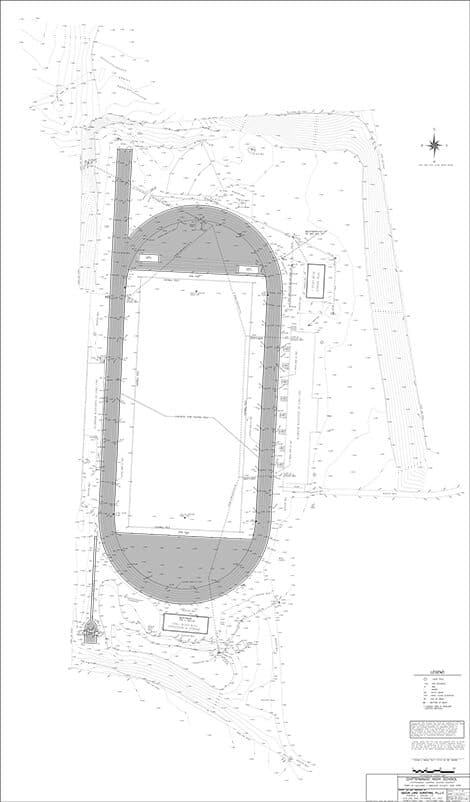
Topographic Design Surveys
The purpose of a topographic design survey (also called a topo survey) is to provide a design professional or contractor with a detailed drawing consisting of the contours of the land, spot elevations, buildings and improvements, natural and manmade features, utilities, property lines, as well as any other data needed to be collected for their design purposes. Our firm utilizes state of the art field technology, consisting of GPS and robotic total stations. These field instruments combined with the latest in surveying office software creates an accurate, efficient, and seamless flow of data from our field collection to the completion of the project. This provides you with a professional product with the quality and reliability that you need, accuracy you can trust at an affordable price.