
Boundary Surveying and Line Staking
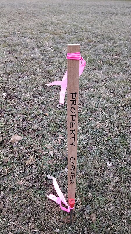 Boundary surveying is performed to establish or reestablish a parcel’s boundary lines. Using the parcel’s deed description and/or other title documents, along with the boundary evidence found during field survey, a land surveyor will determine the boundary lines by applying boundary laws, rules, and principles to guide them to a parcel’s accurate boundaries. When the surveyor has determined the final boundaries of the parcel, the parcel’s boundary markers can be set. We use an iron rod set in the ground with a red cap imprinted with our name and license number. This type of survey is sometimes called a staked survey.